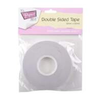
The Paper Mill Double Sided Tape 12mm x 50mJune 22, 2024

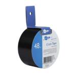 Art Culture Cloth Ta...$9.95 ex. GST
The Paper Mill Double Sided Tape 12mm x 50m
$6.95 ex. GST
Useful for all crafty situations, this double-sided tape is great for school projects and hanging light pictures.
This high-quality tape is safe to use on photographs and is perfect for taping artwork and photographs with a thicker adhesive.
In stock
Related products
-
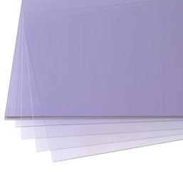
Acetate Film A4 100 pack
$29.90 ex. GSTAcetate Film A4 100 packApril 1, 2019 -
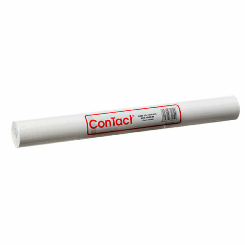
Contact Book Covering 45cm x 15m
$32.95 ex. GSTContact Book Covering 45cm x 15mApril 1, 2019 -
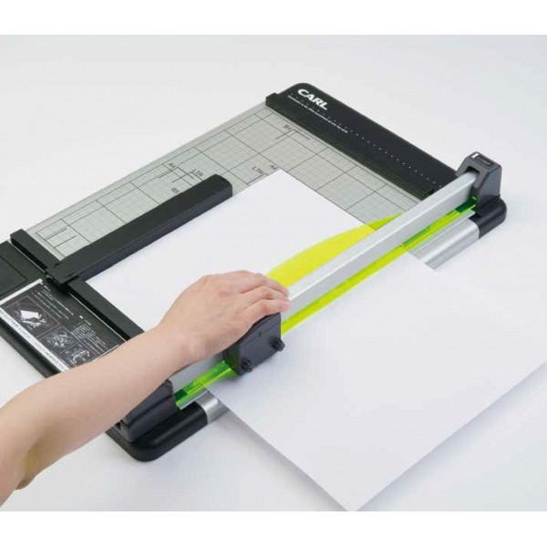
Carl A3 Trimmer
$479.90 ex. GSTCarl A3 TrimmerApril 1, 2019 -
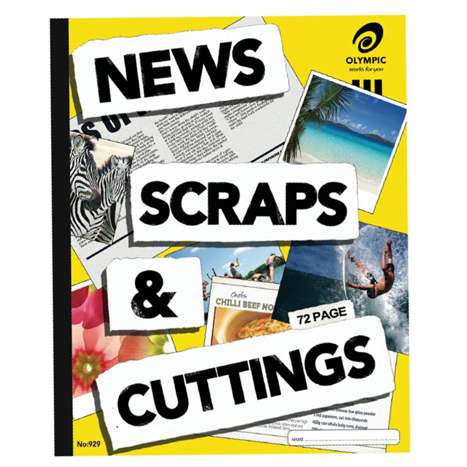
Scrap Books Large (News)
Price range: $5.95 through $55.00 ex. GSTScrap Books Large (News)April 1, 2019 -
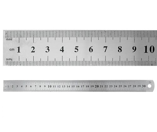
Ruler Steel 30cm
$4.90 ex. GSTRuler Steel 30cmApril 1, 2019 -
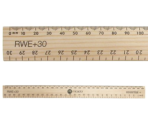
Rulers Wooden 30cm
Price range: $1.40 through $19.90 ex. GSTRulers Wooden 30cmApril 1, 2019 -
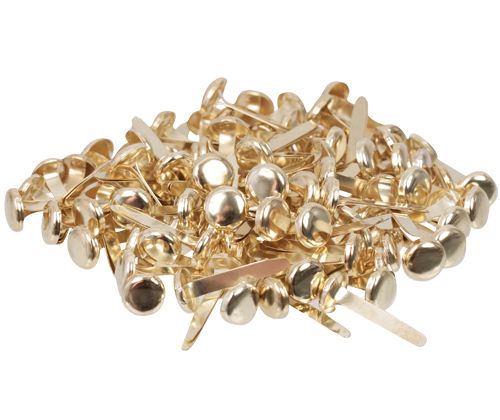
Paper Fasteners
Price range: $3.95 through $48.00 ex. GSTPaper FastenersApril 1, 2019 -
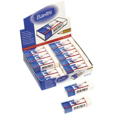
Erasers Bantex – Box of 20
$10.95 ex. GSTErasers Bantex – Box of 20April 1, 2019